autumn in Solihull

posted by Hugh W @ 3:21 AM
0 comments
![]()
using my Sony HandiCam with the Zeiss 40x digital zoom lens
visit SNAPS ONE for my Sony Ericsson cell phone camera pictures

photographs and walks is now where most of my handicam photos are being posted over on the new blogger beta server, I am going to mix cameras from now on on the same blog
posted by Hugh W @ 7:52 AM
0 comments
![]()
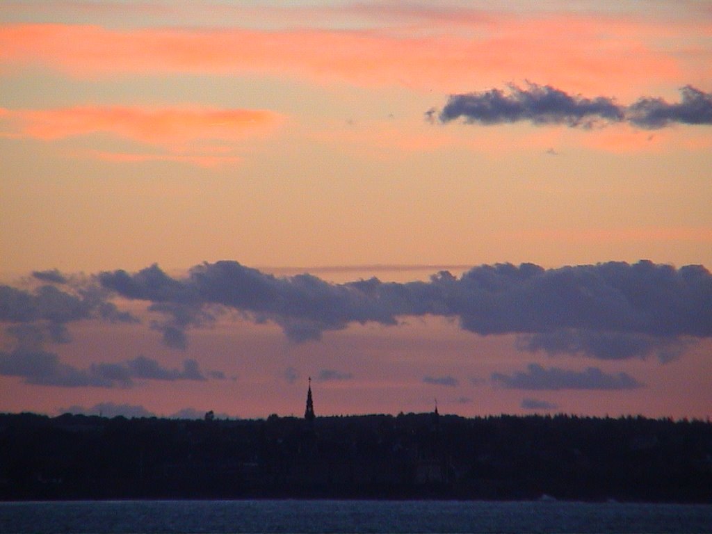
 seen from the top of the castle steps
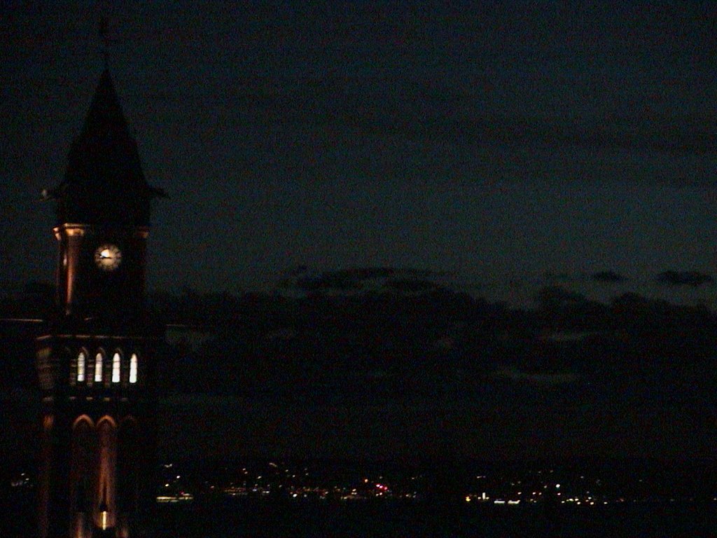 town hall
 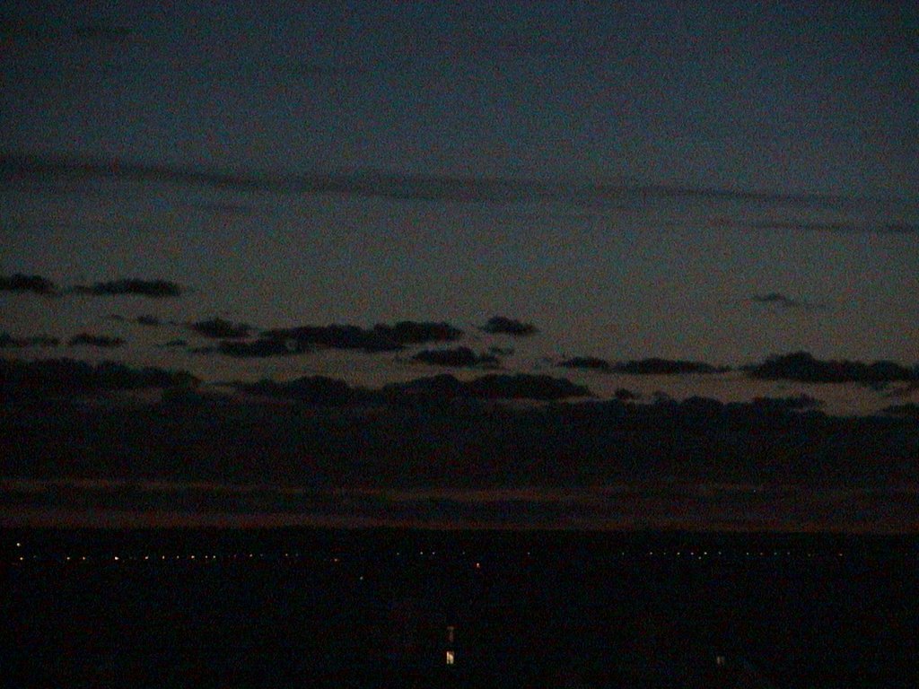 distant Denmark
posted by Hugh W @ 8:26 AM
0 comments
![]()
click any of the place holder letters www to see bigger images
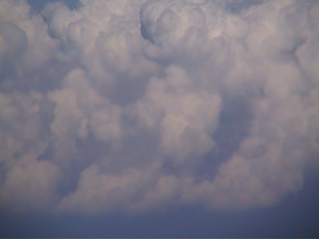 this was a flight from Zurich airport to BHX Birmingham airport on 13 September 2006
 I got this camera out near the french coast when we were at 30 000 feet
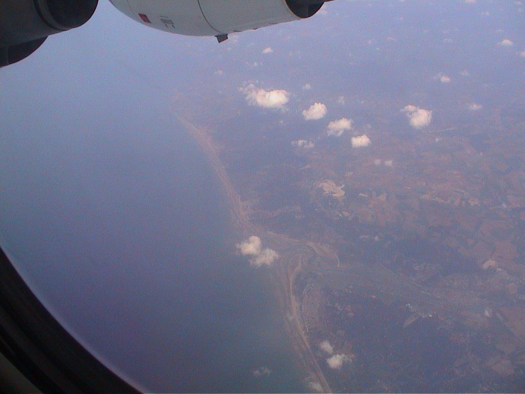 leaving France
 zooming in to a super tanker
 the white cliffs of Dover
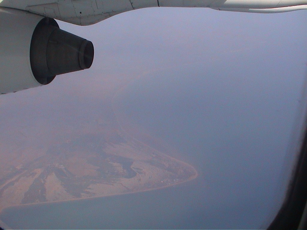 dd
dd London north of the Thames - I saw the millenium dome clearly but was too slow to snap it
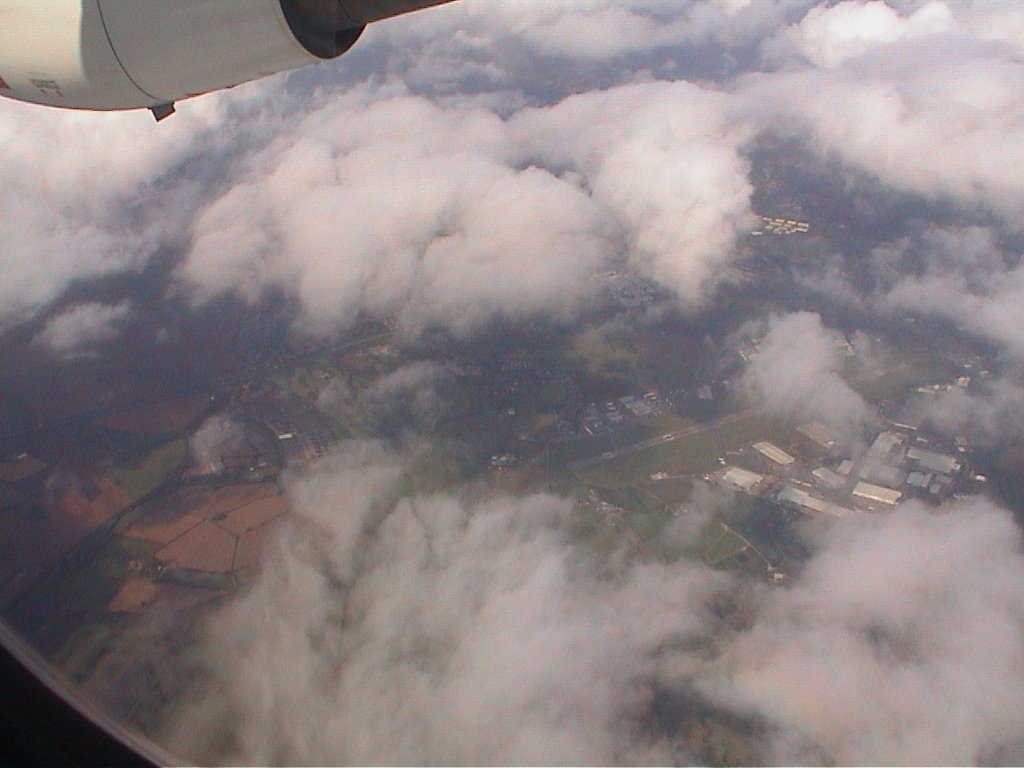 possibly Luton airport
 and possibly Coventry airport
 our shadow
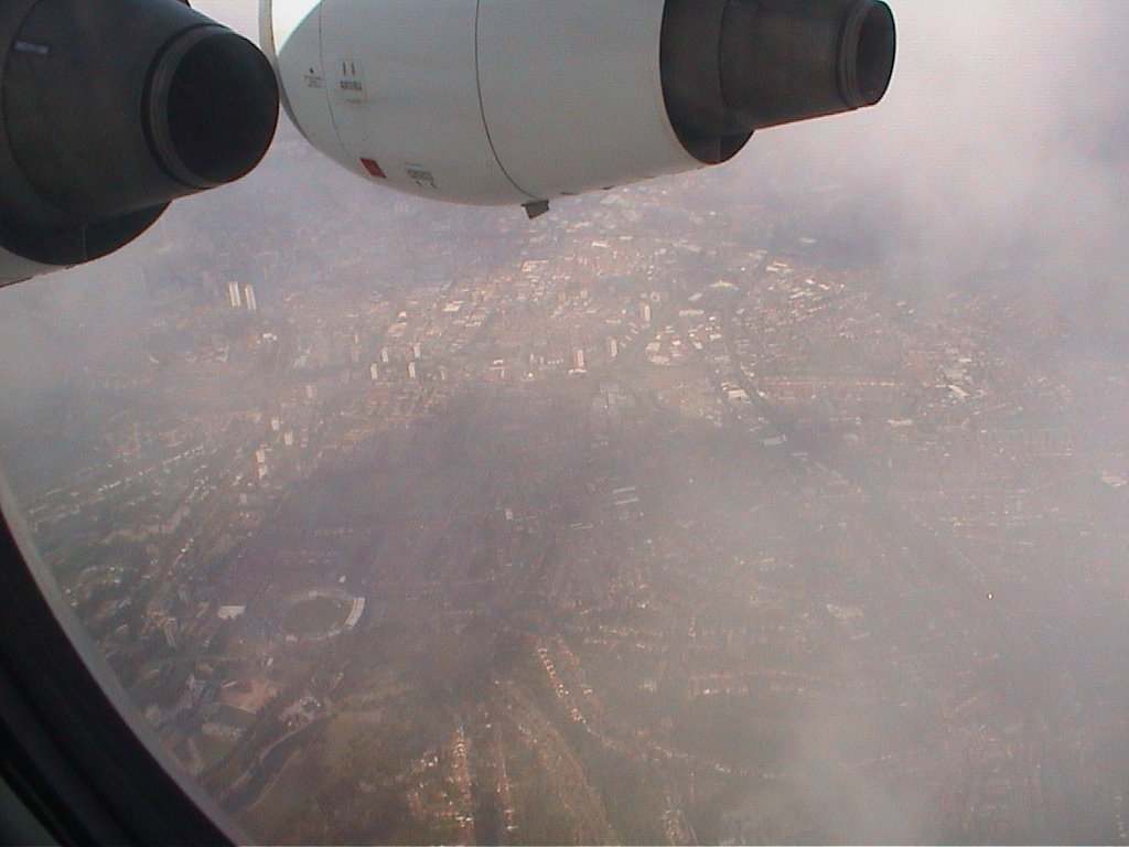 down wind leg of the BHX circuit
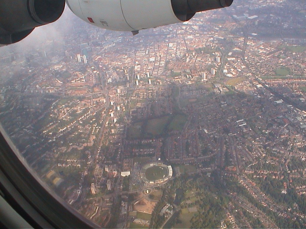 the Warwickshire County Cricket Club ground - and the twin towers are at Horsefair with the new green glass SAS hotel
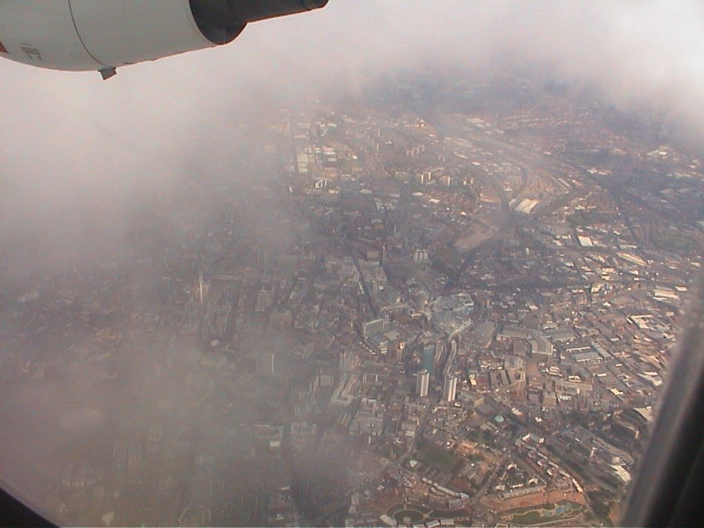 dd
dd aaa
aaa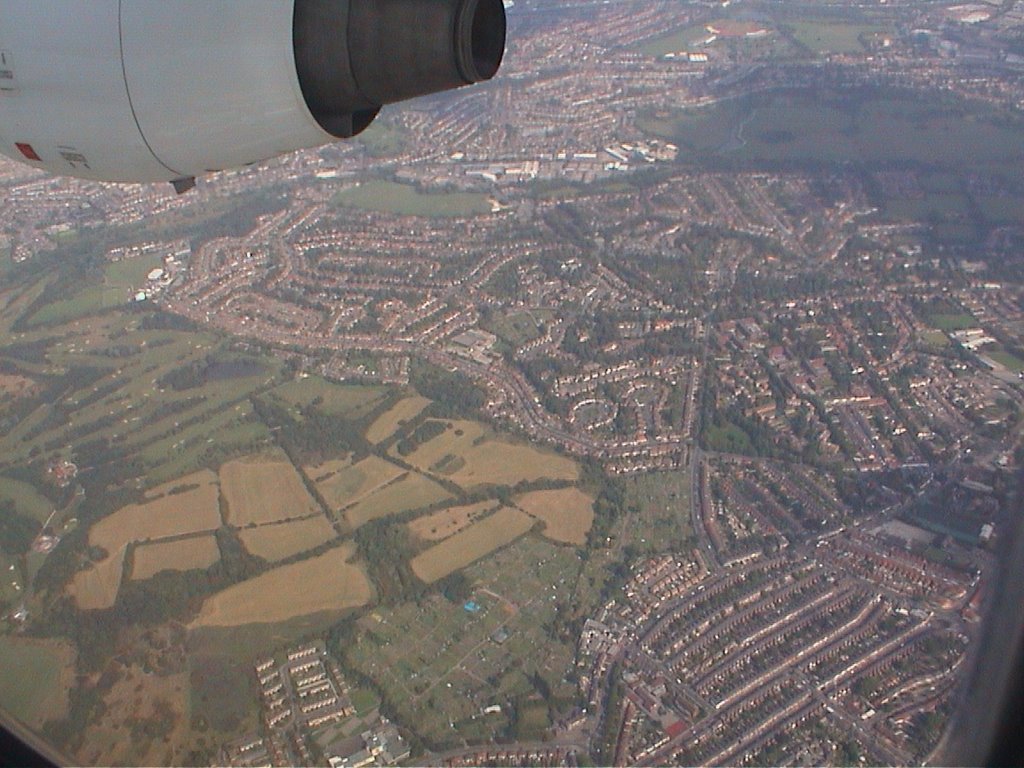 then we turn right and fly towards Erdington church
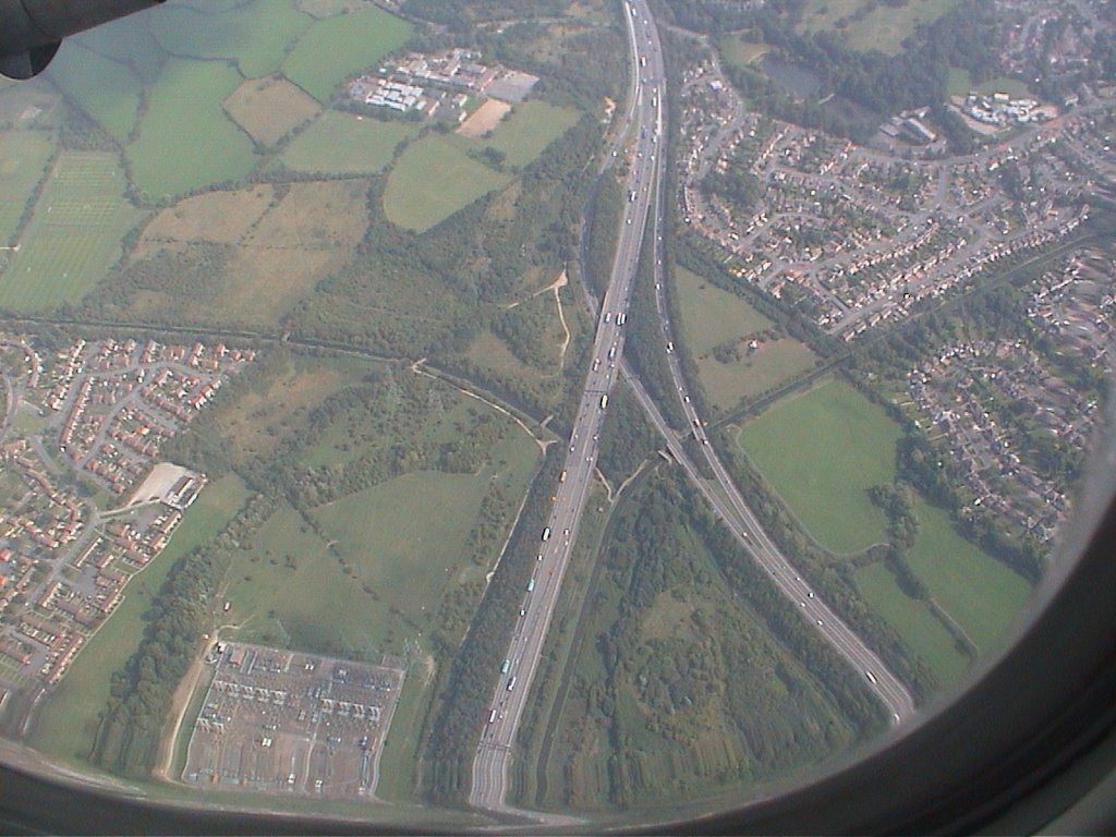 sss
sss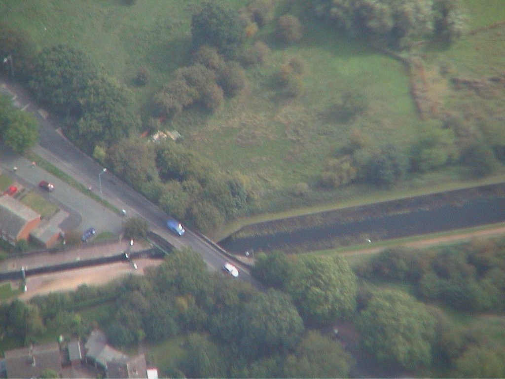 sss
sss sss
sss and turn right again towards the runway at BHX
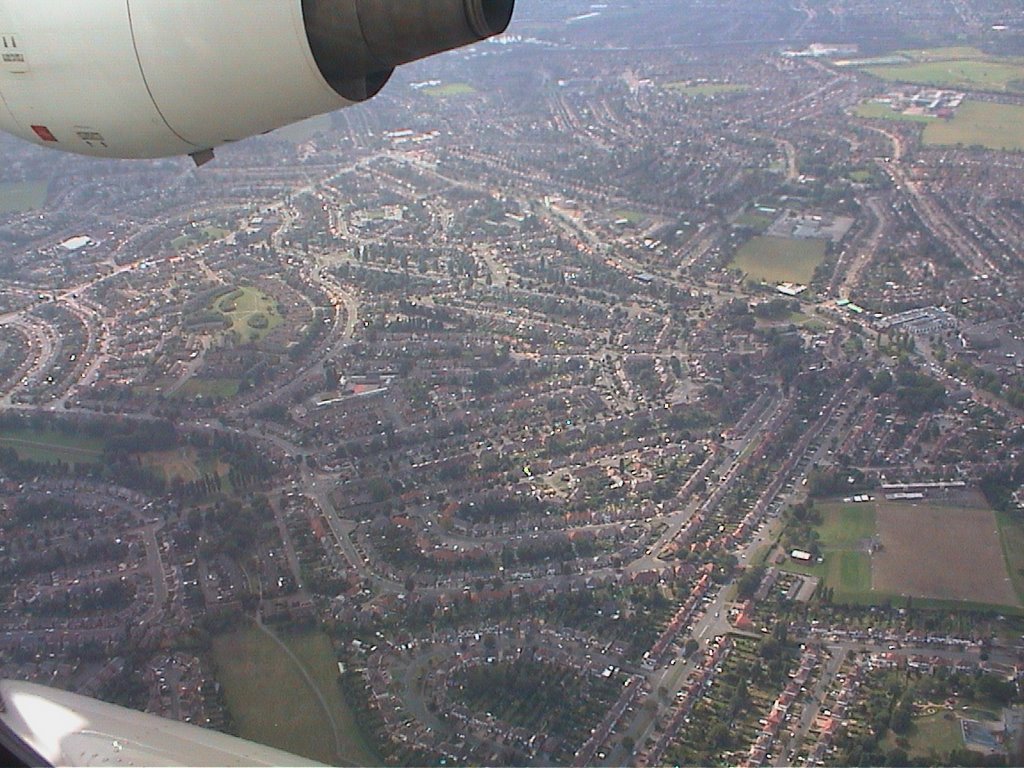 www
www zzz
zzz zzz
zzz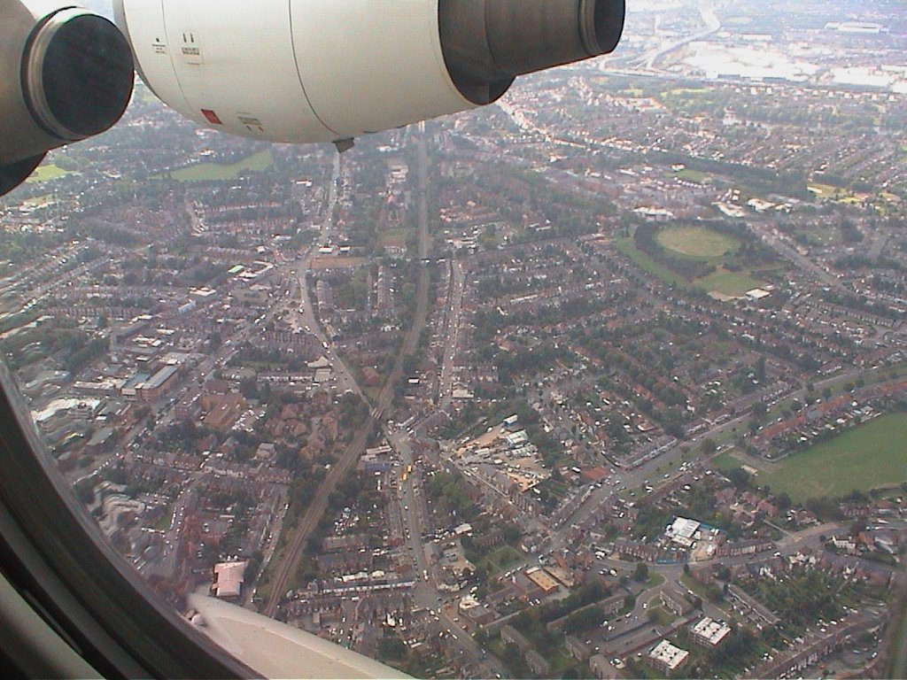 zzz
zzz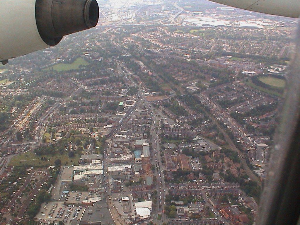 zzz
zzz aa
aa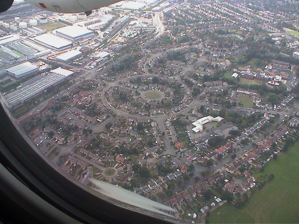 zzz
zzz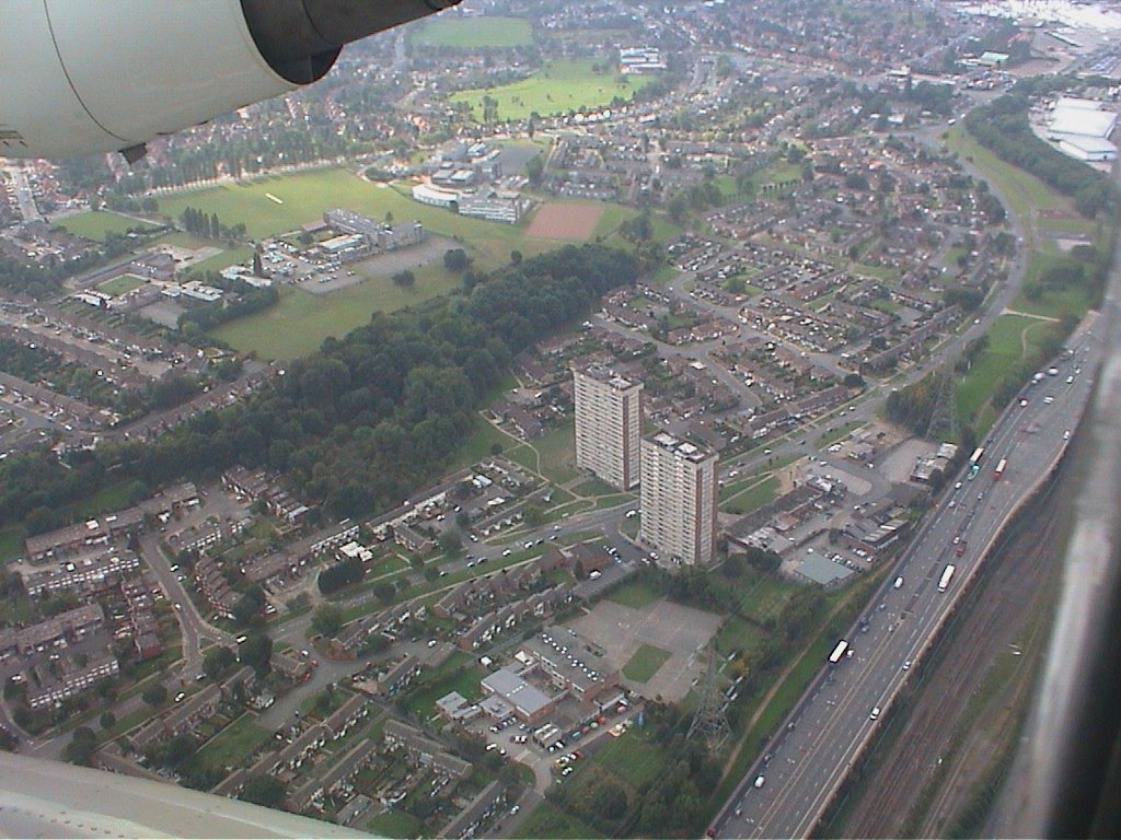 definitely the M6 motorway
 aa
aa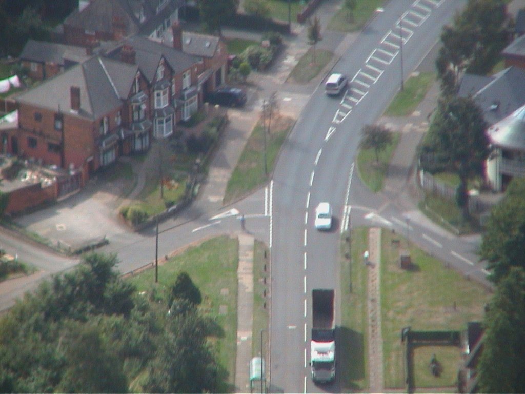 aa
aa aa
aa dddd
dddd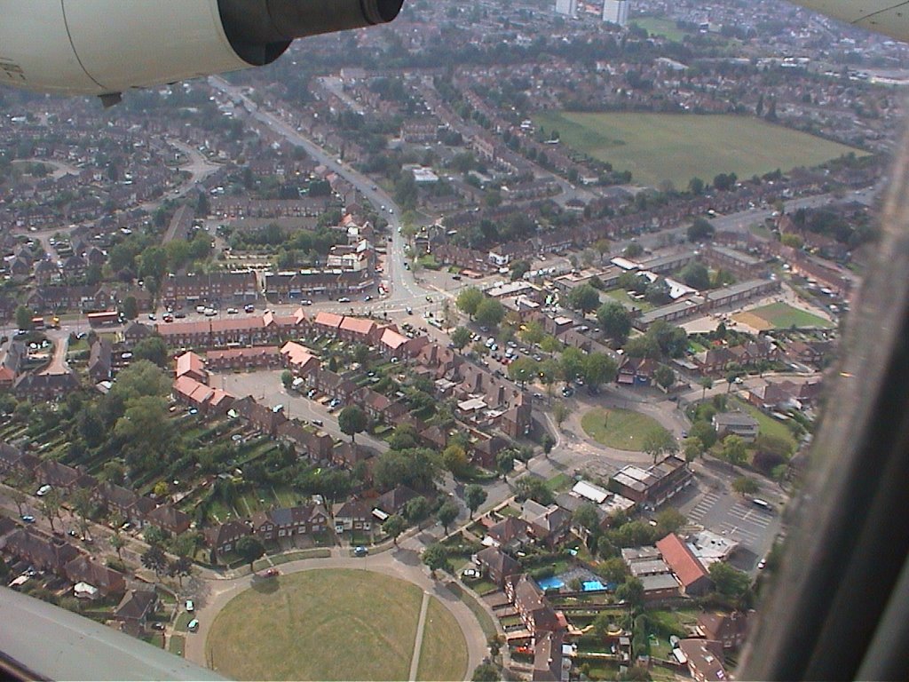 dd
dd dd
dd dd
dd xx
xx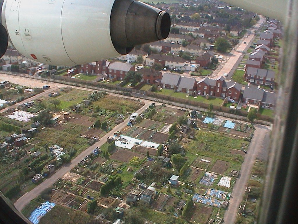 allotments in Sheldon
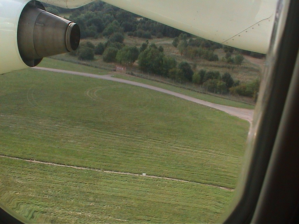 Sheldon Country park by the airport perimeter fence
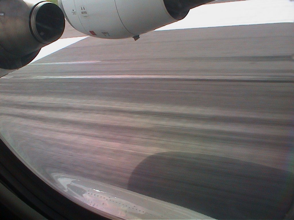 xzx
xzx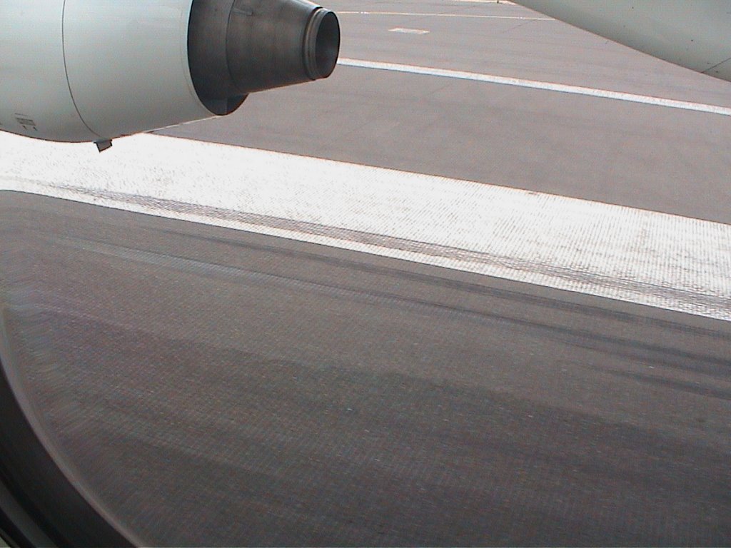
 but many many failed attempts at uploads at last it all works
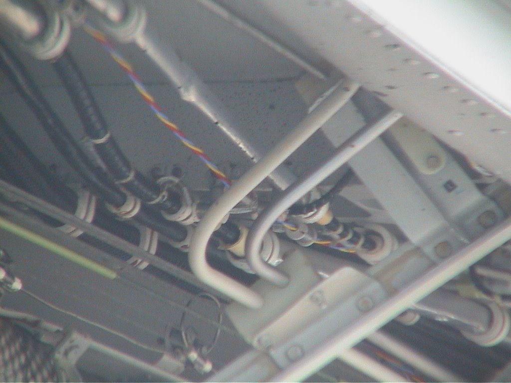 These pictures taken whilest taxiing to the terminal
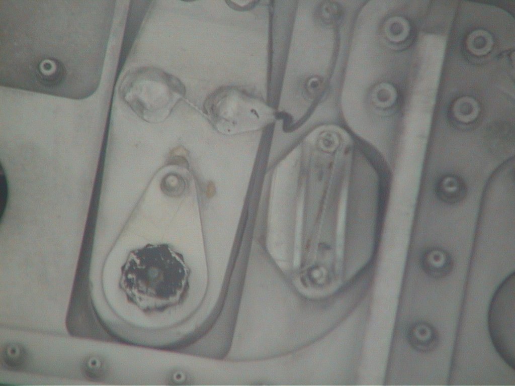 after landing at BHX
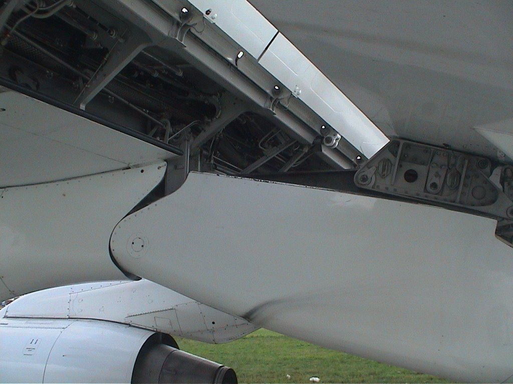
 of the wing flaps mechanism
 niose abatement roots to BHX
posted by Hugh W @ 2:46 AM
0 comments
![]()
 21 more pictures in this blog
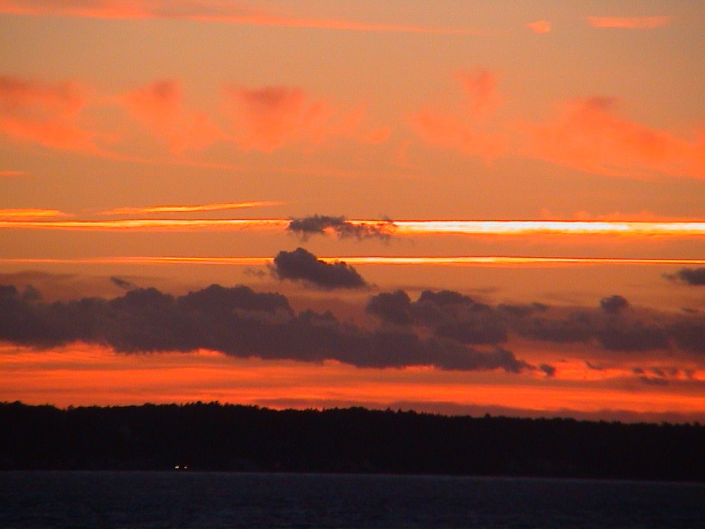 two failed uploads - connection reset