
blog back log 13 September
click any of the place holder letters www to see bigger images
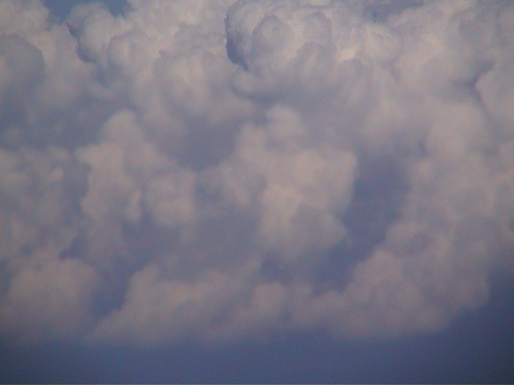 this was a flight from Zurich airport to BHX Birmingham airport on 13 September 2006
 I got this camera out near the french coast when we were at 30 000 feet
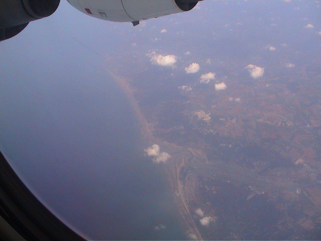 leaving France
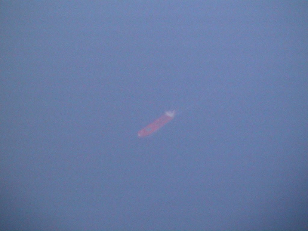 zooming in to a super tanker
 the white cliffs of Dover
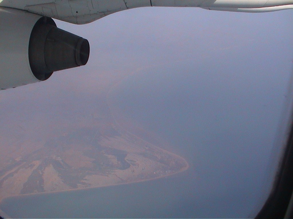 dd
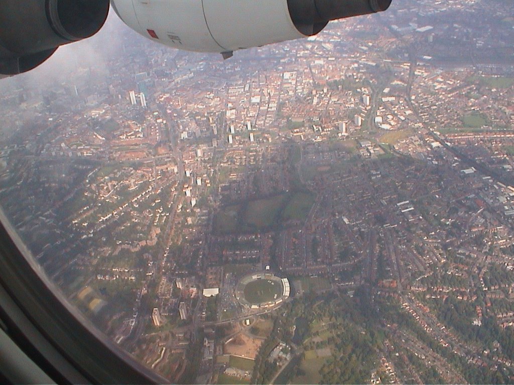
dd London north of the Thames - I saw the millenium dome clearly but was too slow to snap it
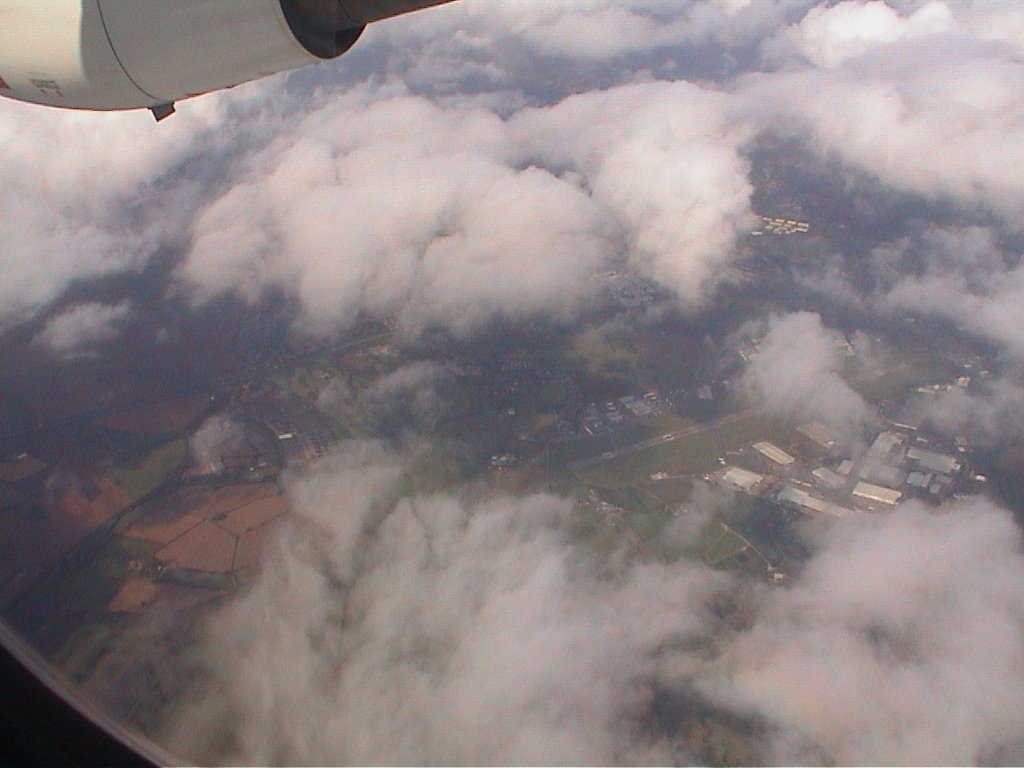 possibly Luton airport
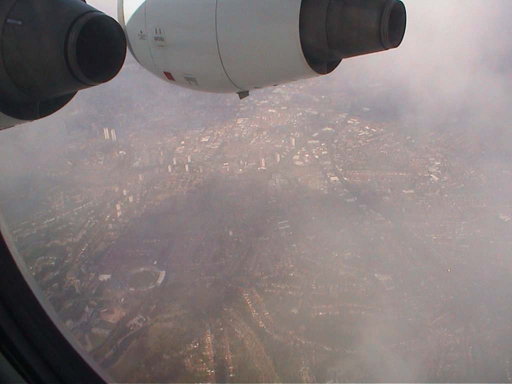
 and possibly Coventry airport
 our shadow
VATSIM-UK AVC/VSCS (80.249.98.88) | ASRC (80.249.98.88): "Minimum descent clearance is 2500ft due to the Sutton Coldfield TV mast at 1358ft and the Tamworth mast at 1501ft.
Taxiway Charlie is not yet in any scenery file, so all aircraft requiring the terminals will have to vacate at the end. For this reason, aircraft on approach should be spaced at least 5nm apart for runway 15.
From CHASE: Leave CHASE heading 180°, then right heading 330° downwind.
From GROVE: Leave GROVE heading 330° downwind.
Aircraft on a GROVE arrival can normally be given a heading around 290° after HON, before right heading 330° downwind, if traffic permits.
From downwind: Right 060° base leg, descending to 2500ft minimum, then right heading 120° to intercept from the right."
 down wind leg of the BHX circuit
the airport is behind us and to the right
 the Warwickshire County Cricket Club ground - and the twin towers are at Horsefair with the new green glass SAS hotel
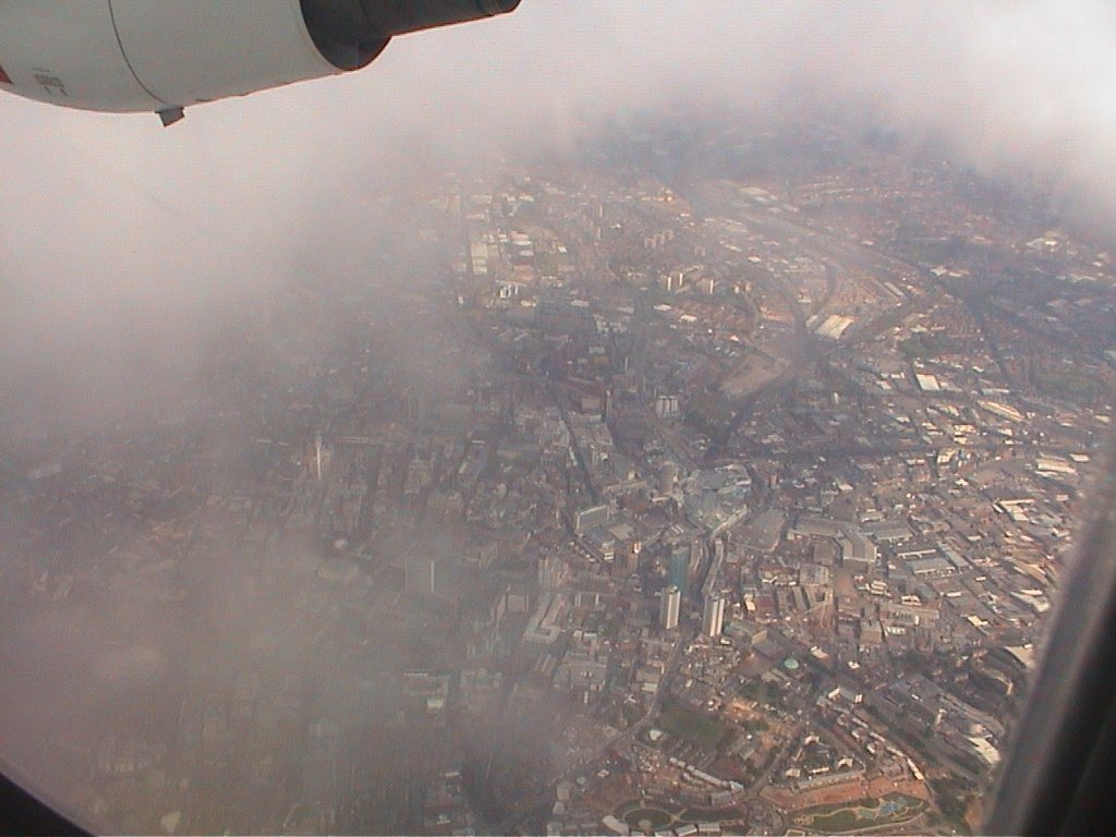 dd
dd aaa
aaa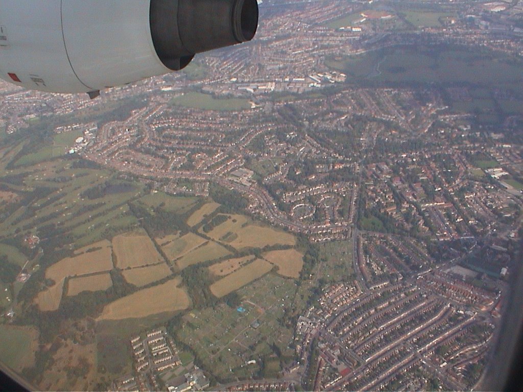 then we turn right and fly towards Erdington church
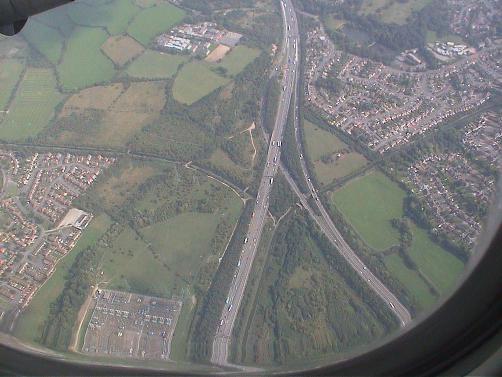 sss
sss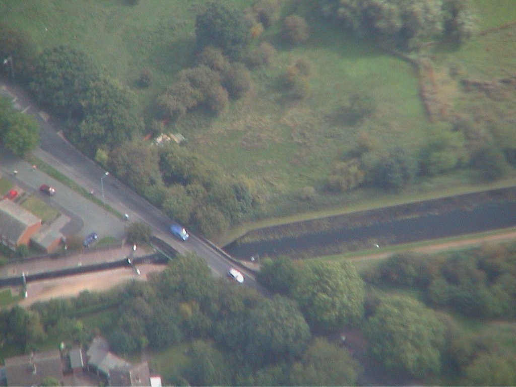 sss
sss sss
sss and turn right again towards the runway at BHX
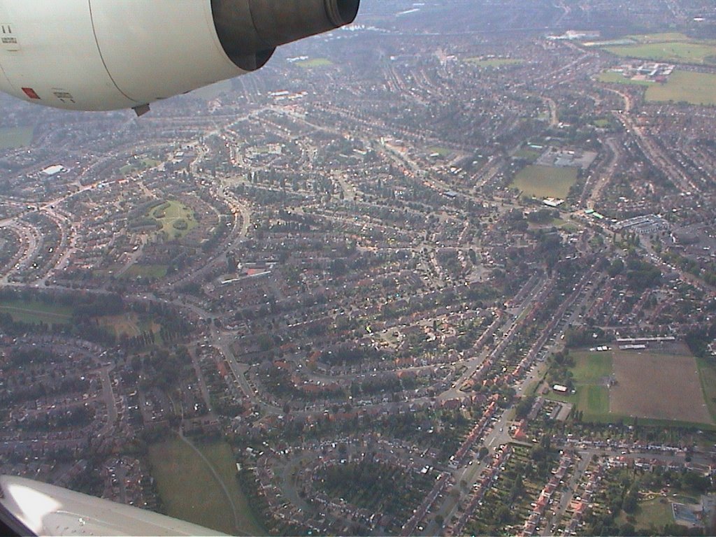 www
www zzz
zzz zzz
zzz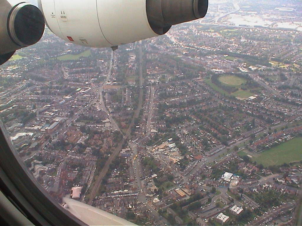 zzz
zzz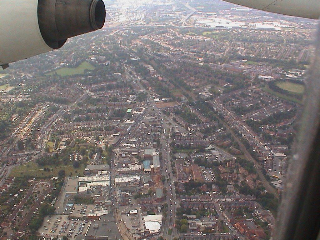 zzz
zzz aa
aa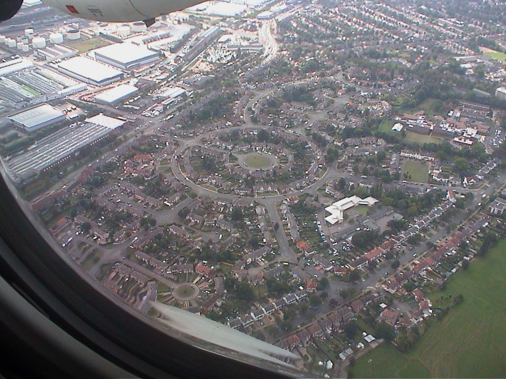 zzz
zzz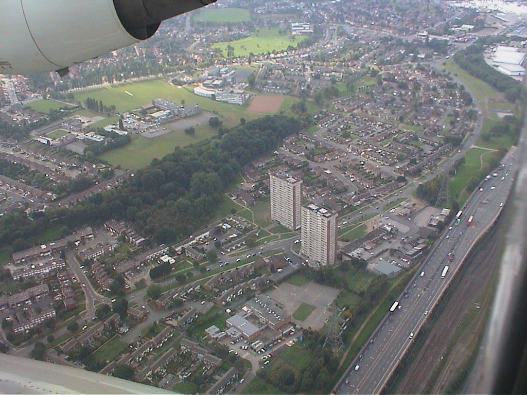 definitely the M6 motorway
 aa
aa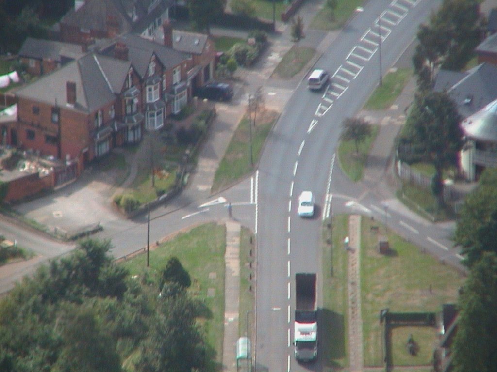 aa
aa aa
aa dddd
dddd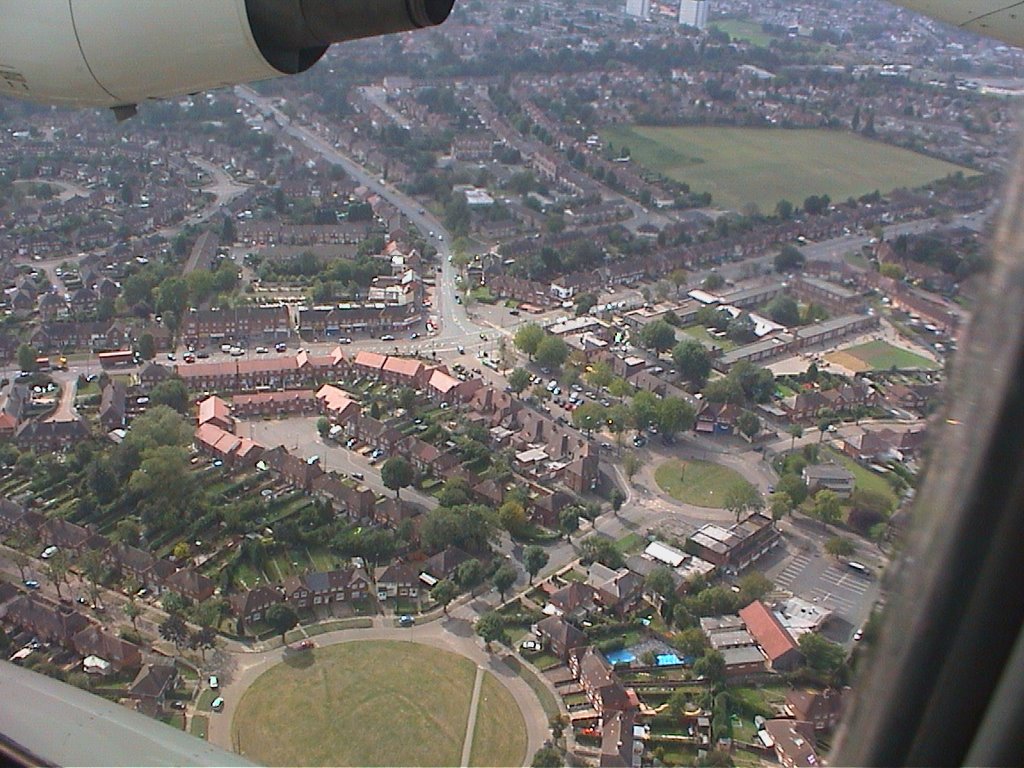 dd
dd dd
dd dd
dd xx
xx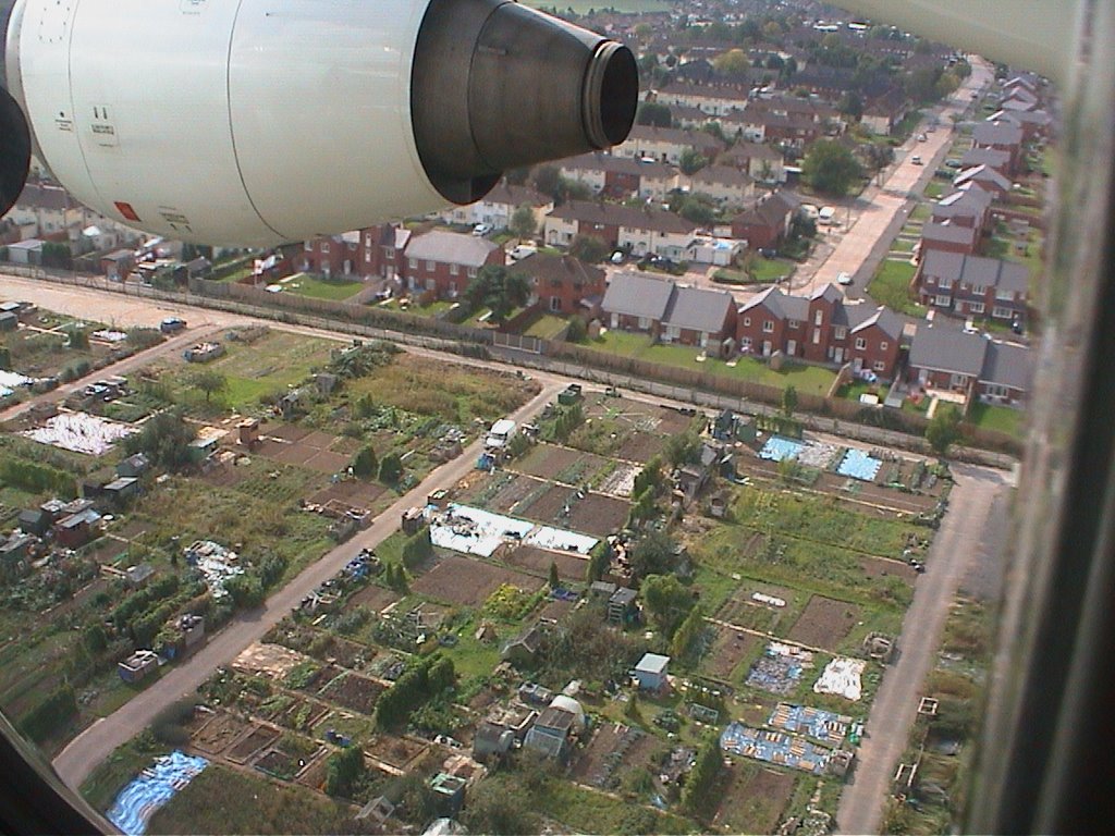 allotments in Sheldon
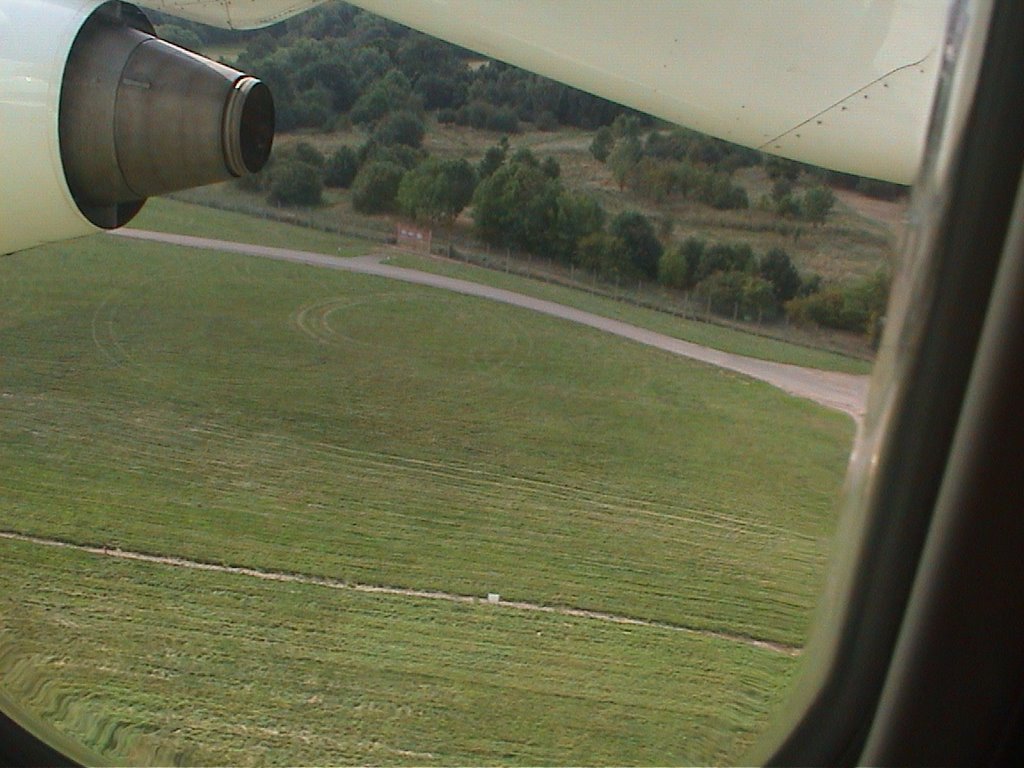 Sheldon Country park by the airport perimeter fence
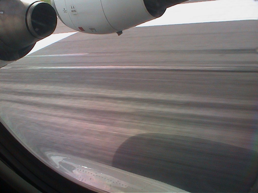 xzx
xzx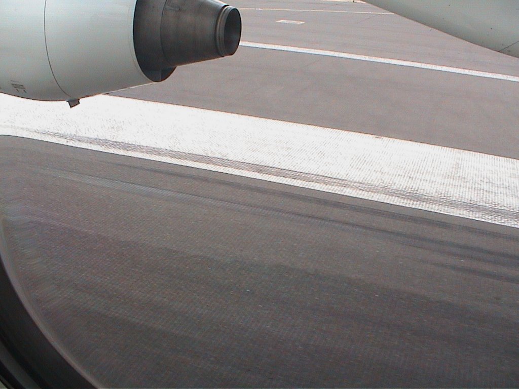
xx
 but many many failed attempts at uploads at last it all works
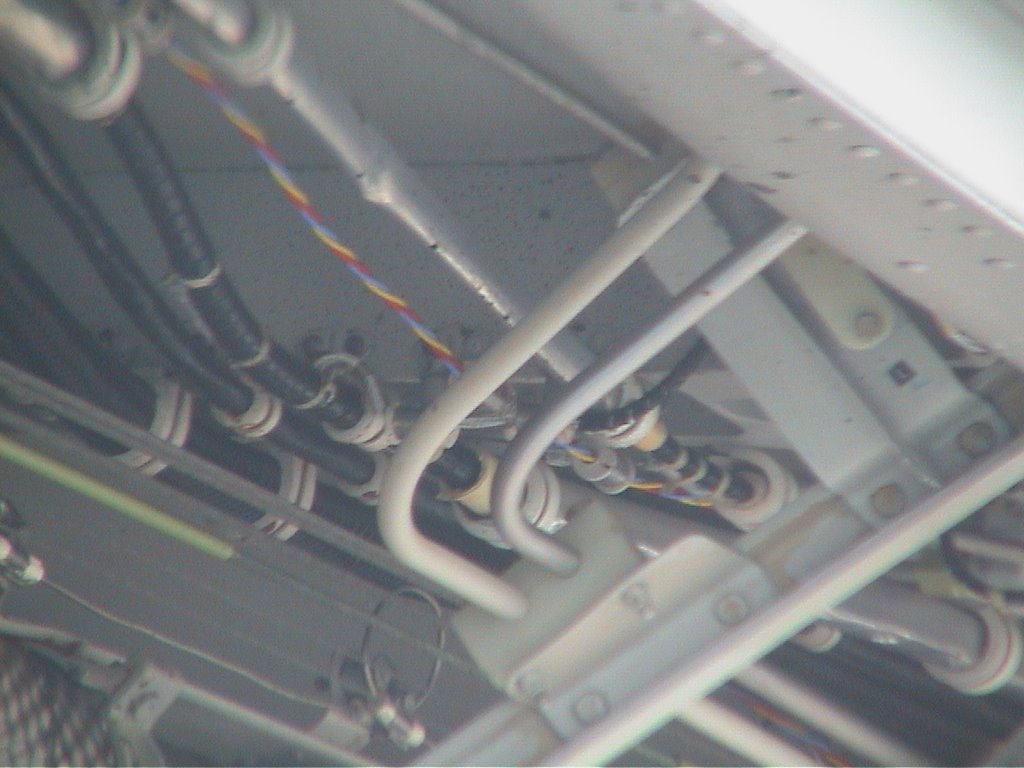 These pictures taken whilest taxiing to the terminal
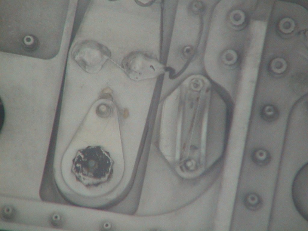 after landing at BHX
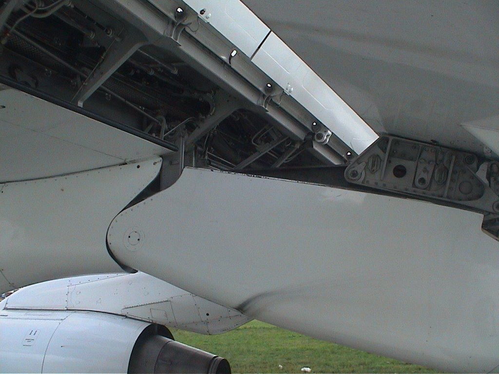
 of the wing flaps mechanism
Altitudes of Departing Aircraft
 niose abatement roots to BHX
 Welcome To The Official Birmingham International Airport Website
site:www.bhx.co.uk circuit - Google Search
BIRMINGHAM EGBB data from National Air traffic Services - needs log on to site
DialMET Meteorological Information Service: "European MET
with links to other European meteorological information service providers"
METAR Site Information for EGBB in Birmingham / Airport, United Kingdom of Great Britain & N. Ireland
Halfpenny Green - Google Search as a private pilot living in Wolverhampton, I once took off from here and overflew Birmingham Airport at 3500 feet
NATS weblinks
Boeing Company: "Birmingham International Airport
IATA/ICAO CODE: BHX/EGBB
CITY: Birmingham
COUNTRY: UK"
and VIRTUALLY VATSIM-UK AVC/VSCS (80.249.98.88) | ASRC (80.249.98.88)
MIDLANDS_STARS.jpg (JPEG Image, 1108x803 pixels)
posted by Hugh W @ 2:46 AM
![]()
0 Comments:
Post a Comment
<< Home